
We provide next-generation drone solutions that shatter boundaries and unlock fresh perspectives from the skies. Our team fuses aerospace engineering, cutting-edge sensors and visionary creativity to deliver aerial services that catalyse real-world impact.
Advanced Spacial Data Capture at competitive pricing with fast turnaround times, using clear communication all whilst ensuring the privacy and security of your data remains a top priority.
Deploying the latest in Drone technology. Leveraging modern, precision-driven tools such as GNSS & RTK to ensure no aspect of operations is unspecified or obscure at any point throughout your project - both Relative & Absolute Accuracy available.
From contact form to deliverables; we reimagine every mission with a tech-forward mindset—streamlining data capture, empowering you to move faster than the status quo allows. The future of aerial intelligence starts here, and we’re leading the way.
Elevating Precision, Redefining Possibility
High-Resolution Aerial Data can consistently accomplish: accurate, timely, visually rich site information at a reasonable cost, without compromising Data Safety whilst saving time, reducing risks, expediting approvals, improving project outcomes and minimising costs.
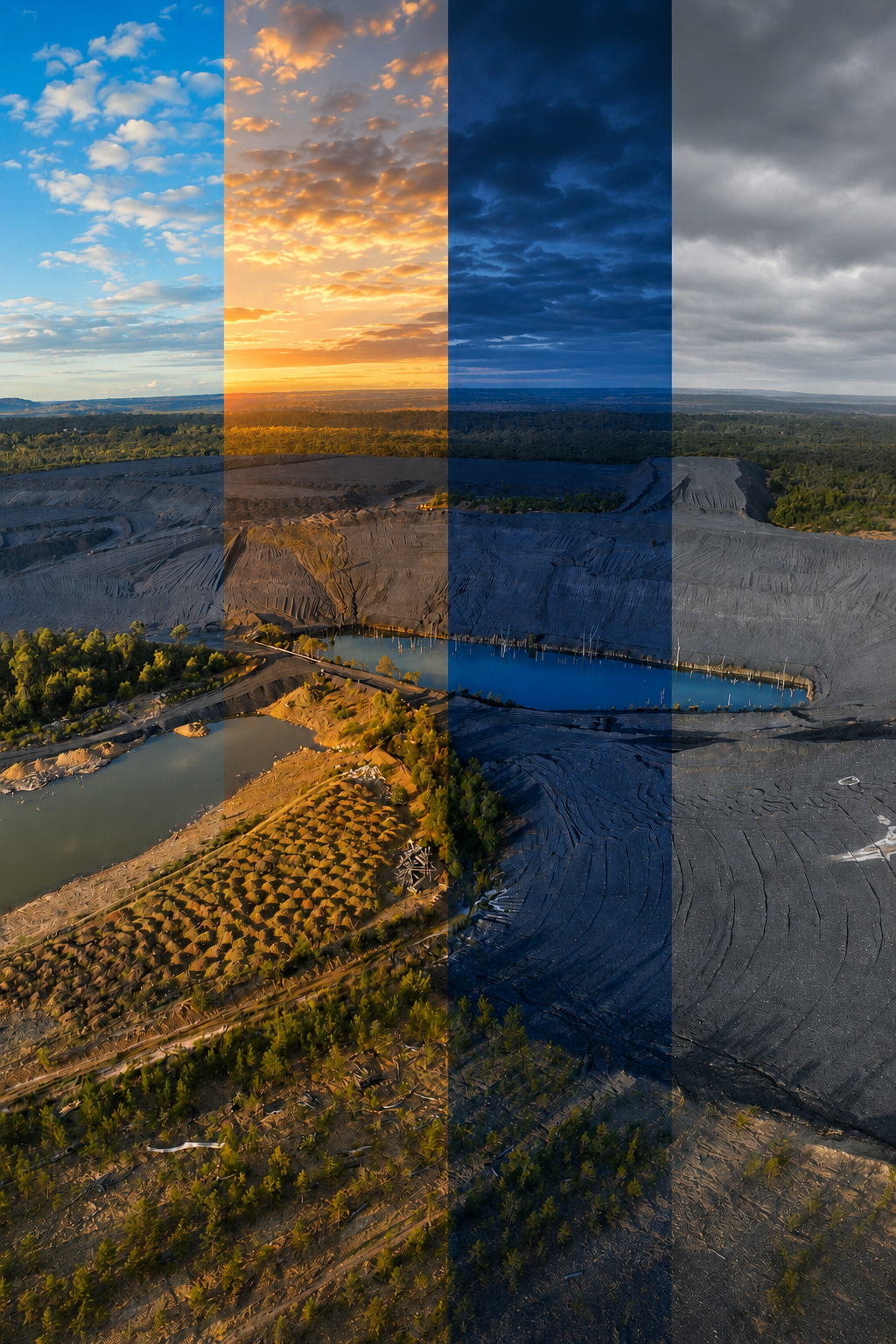
Aerial Mapping
Suite
contact for pricing
Repeatable survey-grade site monitoring for large projects needing volumetrics, progress comparisons and reporting. Track trends, detect faults, use advanced reporting and inform relevant stakeholders efficiently.
You get: everything from ‘Survey-Ready’ + revisits, revisions, constant monitoring, default priority turnaround and most importantly: value over time.
Optional Extras: thermal (IR) and Lidar
solutions are available upon request.
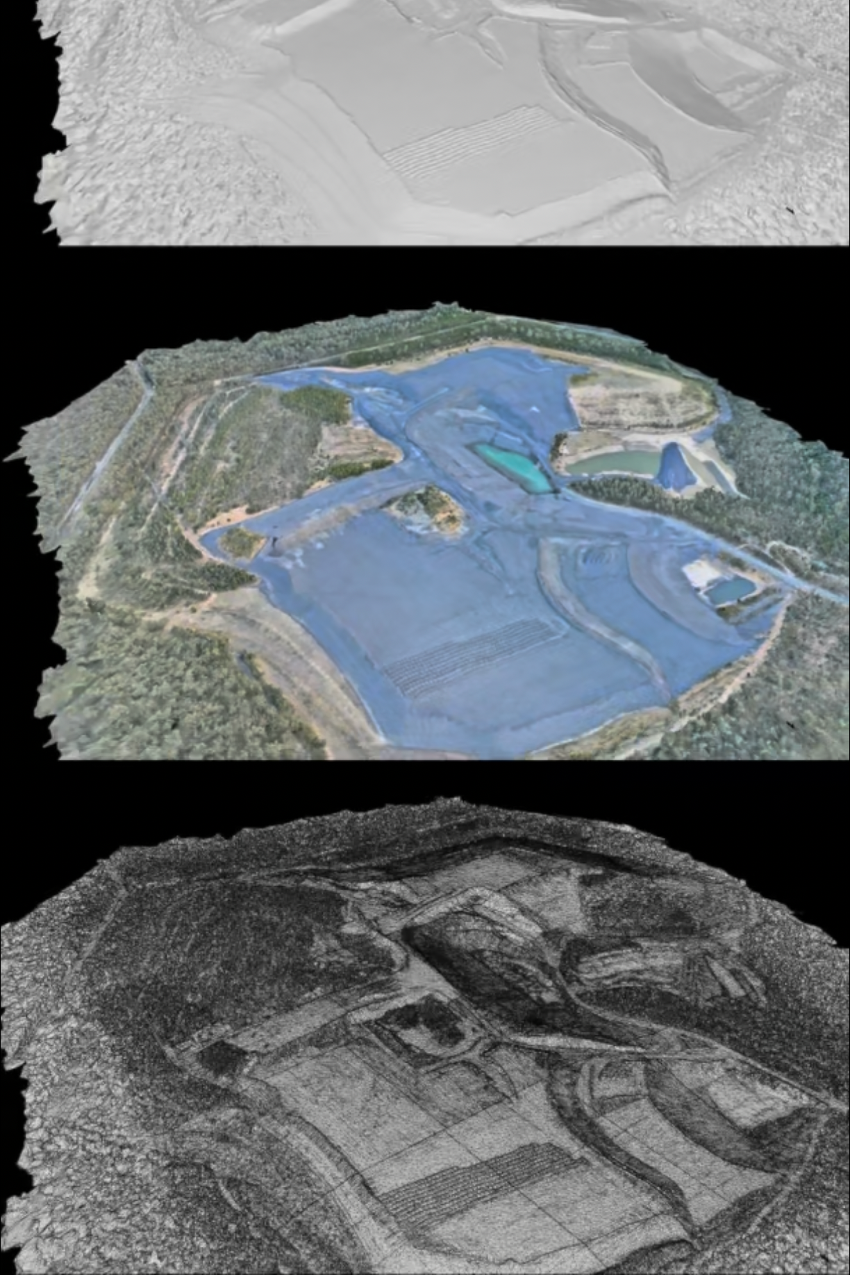
Survey-Ready
starting at $1,199
Survey-grade site mapping for builders, landscapers and engineers in need of accurate visuals, volumetrics and measurement-ready deliverables. Processed on secure systems.
You get: precise, measurable, visual site and terrain data in the form of Orthomosaic and 3D model. Actionable and client-ready.
Optional Extras: OHS reporting, revisits, priority processing, multiple sites
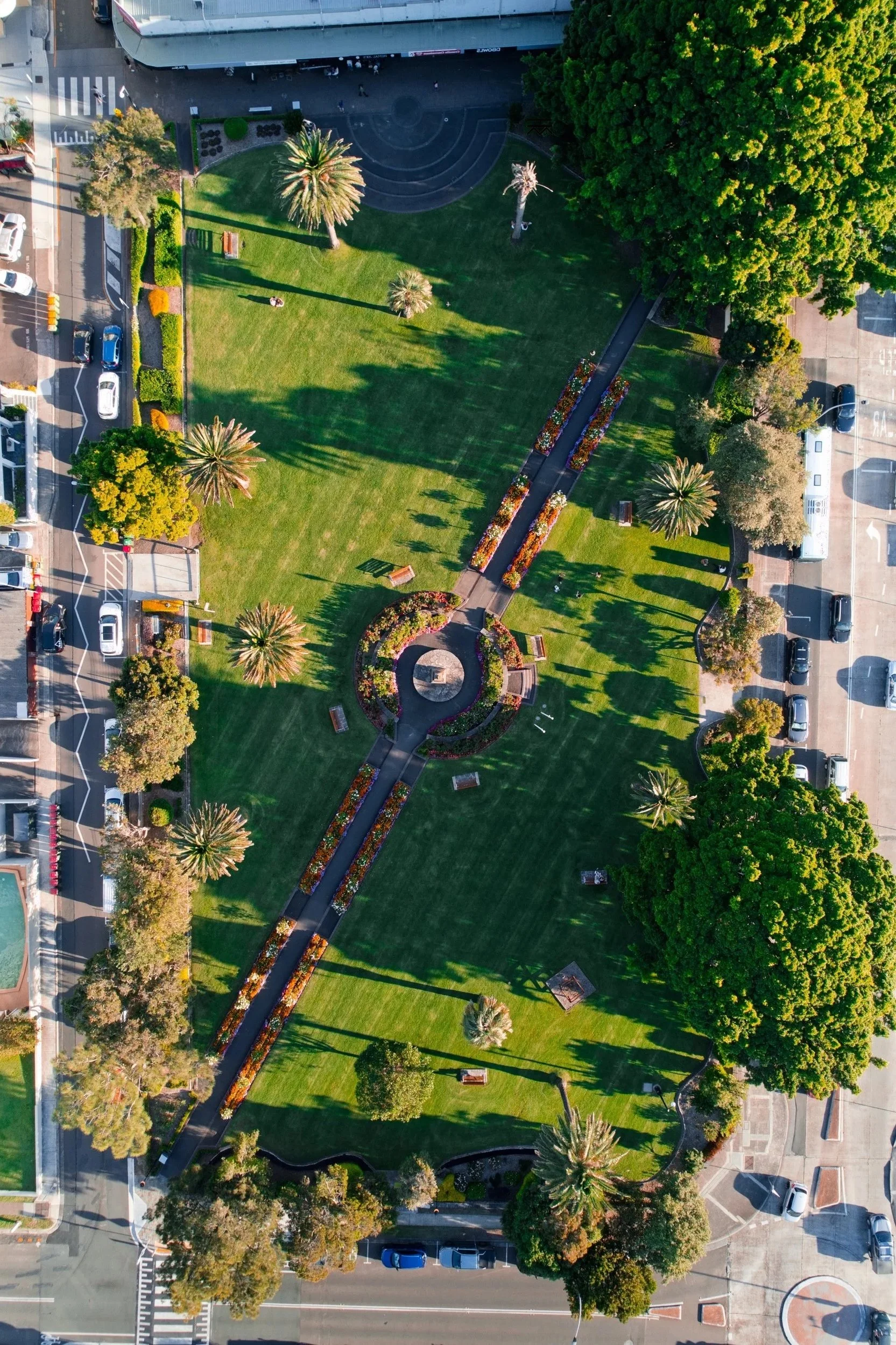
Rapid Inspection & Reporting
from $449
Rapid deployment, mission planning and visual site-capture included.
Minimal post-processing involved. For quick, basic imagery and/or Orthomosaic, delivered promptly.
You get: site capture; basic orthomosaic or imagery delivered promptly and processed securely.
Optional Extras: OHS reports, general measurements (Orthomosaic), on the spot deliverables (raw & unprocessed), additional editing & processing.
These don’t suit the scope of your mission?
Speak to our expert about different pricing points such as:
Per-Unit: pay by the area, asset/inspection point
Hourly: pay by the hour depending on your needs
Project-Based: pay per outcome
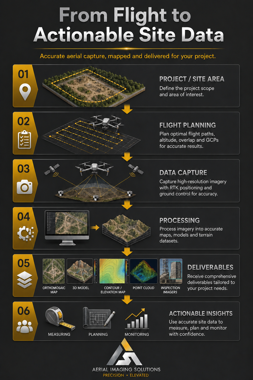
Simply define the scope of your project (site area, detail needed) and our RPAS expert will plan a tailored flight mission.
Pilot mobilises & executes flight mission - data capture
Your Advanced Spatial Data is processed securely
Plan, inform stakeholders, reduce rework, waste & inefficiency
Your Goals: Our Mission
Photogrammetry & Orthomosaics
3D Modelling & Georeferenced Data (±1cm - ±1.5cm)
2D Mapping: Digital Surface, Terrain & Elevation Models
Point Clouds & Measurement Data
Real Time & Post Processed Kinematic Positioning
High-Resolution Image & Video Capture (raw & refined)
Deliverables
The Data You Need, Here Now
GeoTIFF / TIFs for Orthomosaics, DSMs and DTMs.
LAS for Point Clouds
OBJ & FBX for 3D Mesh Models
OSGB for Oblique/Model workflows and GIS-style 3D use
I3S / SLPK for ArcGIS oriented 3D deliverables
PLY & PCD for Point Cloud or Model Data for technical processing
XLSX for Exported Annotations and Measurements such as: coordinates, distances, areas and volumes
Ready to Launch Your Vision?
Submit a form and let’s co-create the next breakthrough—our expert will respond within one business day.